

Mapping cashew trees in Benin
September 6, 2023
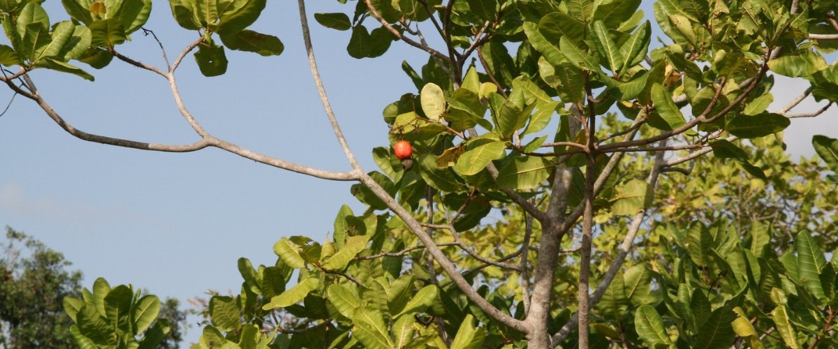
Photo of a cashew tree by Bernt Rostad via flickr.
Zhenong Jin, faculty member in the Department of Bioproducts and Biosystems Engineering, led an effort to use artificial intelligence and remote sensing to map the location of cashew trees in the West African country Benin. This is one of the first efforts to apply these technologies in smallholder tree-crop landscapes on a national scale. The publication appears in this month’s issue of the journal Remote Sensing of Environment. “Satellite remote sensing technology, particularly when combined with the prowess of AI and machine learning, presents a transformative opportunity for the developing world to guide the sustainable expansion of smallholder tree crops,” said Jin.
Cashews are a valuable agricultural product for the country’s approximately 200,000 smallholder cashew farmers, and make up about 15% of Benin’s export earnings. According to TechnoServe, a non-profit organization collaborating on this project, the detailed information of where Benin’s cashews are grown has been turned into “a dashboard for policymakers, development organizations, and the private sector to efficiently target training, cashew tree nurseries, and other resources that benefit the livelihoods of smallholder farmers.” You can watch a demonstration video of the dashboard below:


